ImmerTwin · Point Cloud Scan
Capture the detail.
Build on reality.
Turn existing conditions into a reusable spatial record. Point cloud capture connected to CAD, BIM, 3D modelling and digital twin workflows.
From site to spatial data
A clearer record.
A stronger starting point.
Understand the space before the next decision. Capture real-world geometry to support existing-condition documentation, renovation, restoration and design development.
We start with the outcome you need, so capture can support the drawings, models and digital experiences that follow.
From reality to delivery



Deliverables & connections
One capture brief.
Several ways to use it.
Choose the outputs that serve your project. Drawings, models and digital experiences are scoped alongside the scan when required.
Point cloud data
A spatial record of existing conditions, prepared around the coverage and downstream use agreed for your project.
Measured drawings
Use the captured geometry to support plans, sections, elevations and CAD documentation, when included in the brief.
BIM & 3D models
Plan the capture around scan-to-BIM, Revit modelling, design coordination or other modelling requirements.
Digital twin foundations
Connect spatial data with visual context and asset information to support a digital record that can evolve.
Practical applications
Useful on site.
Valuable beyond it.
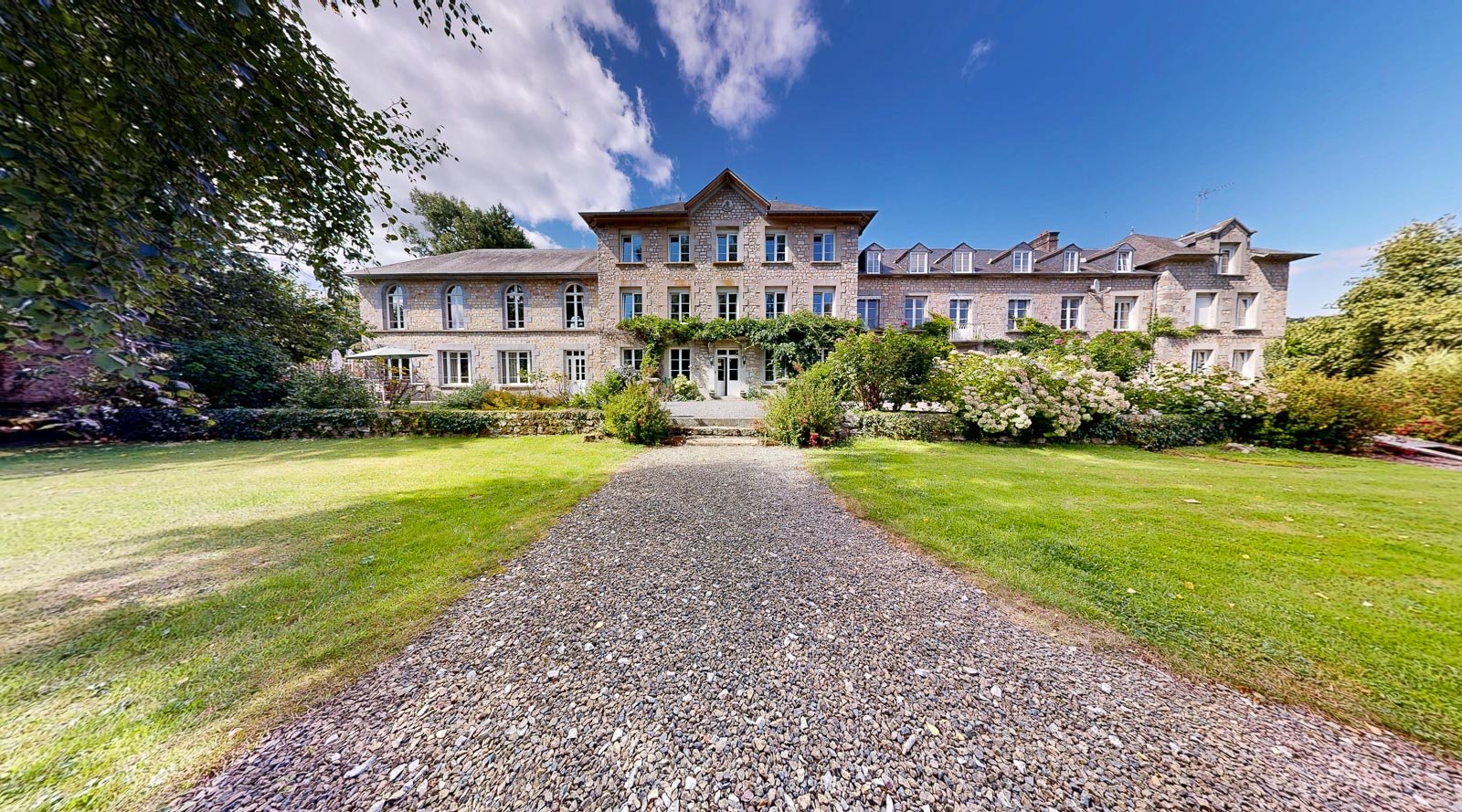
Renovation & restoration
Document existing geometry and support the next stages of design and restoration.
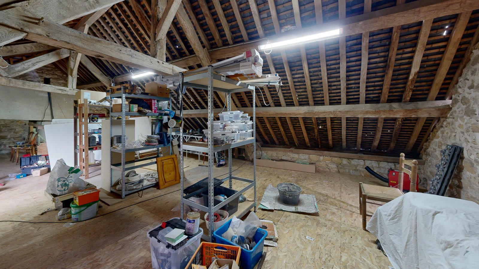
Design & coordination
Give project teams a shared spatial reference for drawing and modelling workflows.

Long-term documentation
Keep a reusable digital record that can inform future work and asset documentation.
Local expertise · International reach
The right specialists.
Where your project needs them.
ImmerTwin works with a network of professional scanning specialists and surveyors across the UK, the European Union, North America and Australia. We bring together local expertise and complementary capture technologies to support projects of different sizes and levels of complexity.
From a single property or a detailed object to a multi-site portfolio, we help align the capture team, equipment and deliverables with your brief—giving you a coordinated route from on-site scanning to useful digital information.
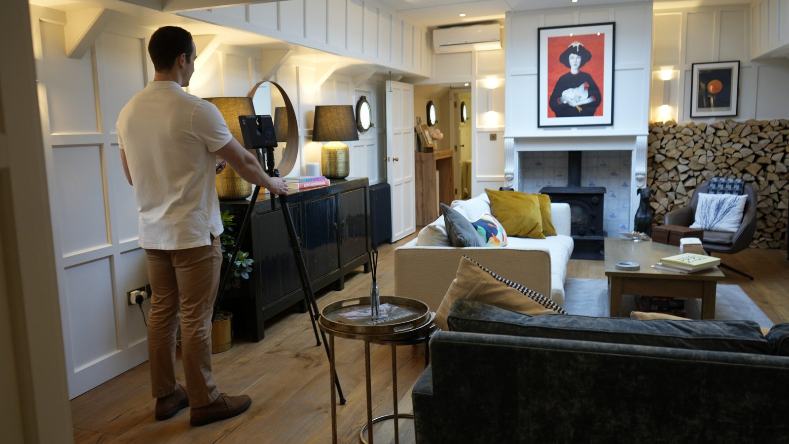
A range of capture technologies
Choose the approach that fits the task.
Our network can support scanning with Matterport, Leica Geosystems, Artec 3D, FARO and other systems, depending on the location, specialist and project requirements.
 Immersive spacesDigital twins and virtual tours that help people explore and understand a property remotely.

Example equipment
Matterport Pro3
- LiDAR capture for indoor and outdoor spaces.
- Colour panoramas and immersive digital twin presentation.
- Automatic registration of 3D scan data.
- Up to 100,000 points per second and 1.5 million points per scan.
- E57 point cloud export available through the appropriate plan and paid deliverable.
Manufacturer specifications
- Depth accuracy
- ±20 mm at 10 m (raw depth output).
- Range
- 0.5 m minimum; up to 100 m in E57 data.
- Capture time
- Under 20 seconds per scan.
Building & site captureLaser scanning for spatial documentation, existing-condition surveys and downstream CAD or BIM workflows.
Example equipment
Leica RTC360
- Tripod laser scanning for buildings and site documentation.
- Up to 2 million points per second.
- Integrated spherical HDR photography.
- Visual Inertial System tracks movement between scan positions for automatic pre-alignment.
- Selectable point spacing of 3, 6 or 12 mm at 10 m.
Manufacturer specifications
- 3D point accuracy
- 1.9 mm at 10 m; 2.9 mm at 20 m; 5.3 mm at 40 m.
- Range accuracy
- 1.0 mm + 10 ppm.
- Range
- 0.5–130 m.
Artec 3DObjects & intricate detailHandheld 3D scanning for objects, components, artefacts and detailed surfaces that need a closer approach.
Example equipment
Artec Leo
- Wireless handheld scanning with an integrated touchscreen.
- Live preview of the developing 3D model.
- Geometry and texture tracking for objects and detailed surfaces.
- HD mode for fine edges and surface detail.
- Colour texture capture and Artec Studio processing workflows.
Manufacturer specifications
- 3D point accuracy
- Up to 0.1 mm.
- Accuracy over distance
- Up to 0.1 mm + 0.3 mm/m.
- 3D resolution
- Up to 0.2 mm; resolution is not the same as accuracy.
- Working distance
- 0.35–1.2 m.
Laser scanning & coordinationReality capture for buildings and complex environments, supporting measurement, modelling and project coordination.

Example equipment
FARO Focus Premium
- Tripod laser scanning for buildings and complex environments.
- On-site scan preview and pre-registration through FARO Stream.
- Point cloud registration and offline processing in FARO SCENE.
- Export options for downstream CAD and BIM software.
- Optional Flash capture with compatible PanoCam equipment and licensing.
Manufacturer specifications
- Published 3D accuracy
- Up to 2 mm for Focus Premium.
- Range
- Up to 200 m for the currently listed Focus Premium.
- Other Focus models
- Core: up to 100 m; Premium Max: up to 400 m. These are range limits, not accuracy guarantees at those distances.
Model examples, subject to local availability. These are manufacturer accuracy specifications under their stated conditions, not directly comparable precision ratings or a guarantee for the completed survey. Distance, surface, scan registration, site control and processing affect the result. We agree the equipment, survey tolerance and deliverables before capture. Specifications checked 14 September 2026.
One brief. A coordinated capture plan.
Share the location, site size, access arrangements, required accuracy, file formats and intended use. We can then identify a suitable specialist and agree the capture scope, responsibilities and delivery requirements before work begins.
Specialist and equipment availability is confirmed for each project. CAD drawings, BIM models and other processing are agreed as part of the scope.
Choose your approach
Match the capture
to the outcome.
A measured survey, a scan-data handover and an integrated workflow serve different needs. The right choice starts with what you need to do next.
| Area | Measured survey | Scan provider | ImmerTwin Point Cloud Scan |
|---|---|---|---|
| Starting point | Dimensions and site notes | Spatial capture | Spatial capture planned around its next use |
| Typical handover | Measurements or drawings | Point cloud files and site records | Agreed scan outputs, with optional drawings, models and visual context |
| CAD & BIM | Further drafting or modelling may be needed | Data supplied for a modelling workflow | Capture scope informed by drawing and modelling requirements |
| Visual context | Depends on the brief | Depends on the provider and scope | Can connect with photography, 360° capture and tours |
| Future use | A record of the surveyed conditions | A reusable spatial dataset | A foundation for design, documentation and digital twin development |
| Best fit | Simple measurement requirements | A defined scan-data requirement | Capture connected to wider technical and digital workflows |
Indicative approaches: services vary by provider and project. The agreed brief defines coverage, accuracy and deliverables.
Define the purpose, site coverage, access, required accuracy and intended software.
Plan and carry out capture around the agreed areas and site conditions.
Prepare the scan data and any commissioned drawings or models for the intended workflow.
Deliver the agreed outputs and discuss how they can support future project needs.
Before your scan
Your questions, answered.
What is a point cloud?
A point cloud is a collection of points positioned in three-dimensional space. Together they describe the geometry of captured surfaces and provide a reference for drawings, models and site understanding.
Are CAD drawings or BIM models included?
They can form part of the project, but are separate deliverables from the point cloud itself. We agree the required drawings, models and level of detail when defining the scope.
Which file formats and accuracy will I receive?
Tell us which software you use and what decisions the data must support. File formats, accuracy requirements, coverage and modelling detail are agreed for the project before capture.
Can this support renovation or heritage work?
Existing-condition capture can support renovation, restoration, heritage documentation and design development. Access, visibility and the areas to be documented are reviewed as part of the brief.
Can I connect the scan to a virtual tour?
The project can combine point cloud capture with photography, 360° tours or a digital twin presentation. These complementary outputs are scoped around your audience and intended use.
Your next project starts here
Capture today.
Build what comes next.
Tell us about the site, your intended outputs and the software you work with. We’ll help define a capture brief around your project.
ImmerTwin · Scan par nuage de points
Capturez chaque détail.
Partez du réel.
Transformez l’existant en données spatiales réutilisables. Une capture par nuage de points reliée à vos projets CAO, BIM, de modélisation 3D et de jumeaux numériques.
Du site aux données spatiales
Un relevé plus clair.
Une base plus solide.
Comprenez les lieux avant votre prochaine décision. Capturez leur géométrie pour documenter l’existant et accompagner la rénovation, la restauration et la conception.
Nous partons du résultat attendu pour que la capture serve les plans, modèles et expériences numériques à venir.
Du réel aux livrables
Livrables et connexions
Un cahier des charges.
Plusieurs usages possibles.
Choisissez les livrables utiles à votre projet. Plans, modèles et expériences numériques sont définis en complément du scan selon vos besoins.
Données de nuage de points
Un relevé spatial de l’existant, préparé selon la couverture et les usages convenus pour votre projet.
Plans et dessins cotés
Exploitez la géométrie capturée pour créer des plans, coupes, élévations et documents CAO, selon le périmètre retenu.
Maquettes BIM et modèles 3D
Organisez la capture pour le scan-to-BIM, la modélisation Revit, la coordination ou d’autres besoins de modélisation.
Les bases d’un jumeau numérique
Reliez les données spatiales au contexte visuel et aux informations du bâtiment pour constituer un dossier numérique évolutif.
Applications concrètes
Utile sur le terrain.
Précieux dans la durée.
Rénovation et restauration
Documentez la géométrie existante pour accompagner la conception et la restauration.
Conception et coordination
Offrez aux équipes une référence spatiale commune pour les plans et la modélisation.
Documentation durable
Conservez un relevé numérique réutilisable pour les interventions futures et la documentation du bâtiment.
Expertise locale · Présence internationale
Les bons spécialistes.
Là où votre projet en a besoin.
ImmerTwin collabore avec un réseau de spécialistes professionnels de la numérisation et de géomètres au Royaume-Uni, dans l’Union européenne, en Amérique du Nord et en Australie. Nous réunissons expertise locale et technologies complémentaires pour accompagner des projets de tailles et de complexités variées.
D’un bien immobilier ou d’un objet détaillé à un portefeuille de plusieurs sites, nous adaptons l’équipe, les équipements et les livrables à votre cahier des charges, pour relier la capture sur site à des informations numériques exploitables.
Plusieurs technologies de capture
La bonne approche pour chaque besoin.
Notre réseau peut proposer des prestations utilisant Matterport, Leica Geosystems, Artec 3D, FARO et d’autres systèmes, selon le lieu, le spécialiste et les exigences du projet.
Espaces immersifsDes jumeaux numériques et des visites virtuelles pour explorer et comprendre un lieu à distance.
Exemple d’équipement
Matterport Pro3
- Capture LiDAR des espaces intérieurs et extérieurs.
- Panoramas couleur et présentation immersive sous forme de jumeau numérique.
- Assemblage automatique des données de scan 3D.
- Jusqu’à 100 000 points par seconde et 1,5 million de points par scan.
- Export du nuage de points E57 selon l’abonnement et le livrable payant retenus.
Spécifications du fabricant
- Précision en profondeur
- ±20 mm à 10 m (données brutes de profondeur).
- Portée
- Minimum 0,5 m ; jusqu’à 100 m dans les données E57.
- Temps de capture
- Moins de 20 secondes par scan.
Relevés de bâtiments et de sitesLe scan laser pour la documentation spatiale, le relevé de l’existant et les usages CAO ou BIM.
Exemple d’équipement
Leica RTC360
- Scan laser sur trépied pour les bâtiments et la documentation des sites.
- Jusqu’à 2 millions de points par seconde.
- Photographie sphérique HDR intégrée.
- Le système inertiel visuel suit les déplacements entre stations pour le pré-alignement automatique.
- Espacement des points réglable à 3, 6 ou 12 mm à 10 m.
Spécifications du fabricant
- Précision du point 3D
- 1,9 mm à 10 m ; 2,9 mm à 20 m ; 5,3 mm à 40 m.
- Précision de distance
- 1,0 mm + 10 ppm.
- Portée
- 0,5–130 m.
Artec 3DObjets et détails complexesLa numérisation 3D portable pour les objets, composants, pièces patrimoniales et surfaces nécessitant une capture rapprochée.
Exemple d’équipement
Artec Leo
- Scan portable sans fil avec écran tactile intégré.
- Aperçu en direct du modèle 3D en cours de capture.
- Suivi de la géométrie et de la texture pour les objets et les surfaces détaillées.
- Mode HD pour les arêtes fines et les détails de surface.
- Capture de textures couleur et traitement dans Artec Studio.
Spécifications du fabricant
- Précision du point 3D
- Jusqu’à 0,1 mm.
- Précision sur la distance
- Jusqu’à 0,1 mm + 0,3 mm/m.
- Résolution 3D
- Jusqu’à 0,2 mm ; la résolution est distincte de la précision.
- Distance de travail
- 0,35–1,2 m.
Scan laser et coordinationLa capture de bâtiments et d’environnements complexes pour accompagner les mesures, la modélisation et la coordination.
Exemple d’équipement
FARO Focus Premium
- Scan laser sur trépied pour les bâtiments et les environnements complexes.
- Aperçu sur site et pré-assemblage des scans avec FARO Stream.
- Assemblage et traitement hors ligne des nuages de points dans FARO SCENE.
- Possibilités d’export vers les logiciels CAO et BIM.
- Capture Flash en option avec équipement PanoCam compatible et licences adaptées.
Spécifications du fabricant
- Précision 3D annoncée
- Jusqu’à 2 mm pour le Focus Premium.
- Portée
- Jusqu’à 200 m pour le Focus Premium actuellement présenté.
- Autres modèles Focus
- Core : jusqu’à 100 m ; Premium Max : jusqu’à 400 m. Ces portées ne garantissent pas la précision à ces distances.
Modèles donnés à titre d’exemple, selon disponibilité locale. Il s’agit des précisions annoncées par les fabricants dans leurs conditions de mesure, et non de valeurs directement comparables ou d’une garantie pour le relevé final. Distance, surface, assemblage des scans, contrôle du site et traitement influencent le résultat. L’équipement, la tolérance du relevé et les livrables sont convenus avant la capture. Spécifications vérifiées le 14 septembre 2026.
Un cahier des charges. Une capture coordonnée.
Précisez le lieu, la taille du site, les conditions d’accès, la précision attendue, les formats et les usages prévus. Nous pouvons alors identifier un spécialiste adapté et convenir du périmètre, des responsabilités et des modalités de livraison avant l’intervention.
La disponibilité des spécialistes et des équipements est confirmée pour chaque projet. Les plans CAO, maquettes BIM et autres traitements sont définis dans le périmètre de la mission.
Choisissez votre approche
Adaptez la capture
au résultat attendu.
Un relevé de mesures, une livraison de données de scan et un projet intégré répondent à des besoins différents. Le choix dépend de ce que vous souhaitez réaliser ensuite.
| Critère | Relevé de mesures | Prestataire de scan | Scan par nuage de points ImmerTwin |
|---|---|---|---|
| Point de départ | Dimensions et notes de terrain | Capture spatiale | Capture spatiale pensée pour ses usages futurs |
| Livraison type | Mesures ou plans | Fichiers de nuage de points et relevés | Livrables convenus, avec plans, modèles et contexte visuel en option |
| CAO et BIM | Dessin ou modélisation complémentaire possible | Données destinées à un travail de modélisation | Périmètre de capture adapté aux besoins de dessin et de modélisation |
| Contexte visuel | Selon le cahier des charges | Selon le prestataire et le périmètre | Connexion possible avec photos, capture à 360° et visites |
| Réutilisation | État des lieux relevé | Jeu de données spatiales réutilisable | Base pour la conception, la documentation et les jumeaux numériques |
| Usage adapté | Besoins de mesure simples | Besoin défini de données de scan | Capture intégrée à des usages techniques et numériques plus larges |
Comparaison indicative : les services varient selon le prestataire et le projet. Le cahier des charges définit la couverture, la précision et les livrables.
Définir les usages, la couverture, les accès, la précision requise et les logiciels cibles.
Préparer et réaliser la capture selon les zones convenues et les conditions du site.
Préparer les données et les plans ou modèles commandés pour les usages prévus.
Livrer les éléments convenus et envisager leur réutilisation pour les besoins futurs.
Avant votre scan
Les réponses à vos questions.
Qu’est-ce qu’un nuage de points ?
Un nuage de points est un ensemble de points positionnés dans un espace tridimensionnel. Ils décrivent la géométrie des surfaces capturées et servent de référence pour les plans, les modèles et la compréhension du site.
Les plans CAO et les maquettes BIM sont-ils inclus ?
Ils peuvent faire partie du projet, mais constituent des livrables distincts du nuage de points. Les plans, modèles et niveaux de détail attendus sont définis lors du cadrage.
Quels formats et quelle précision vais-je recevoir ?
Indiquez-nous vos logiciels et les décisions que les données doivent permettre de prendre. Les formats, les exigences de précision, la couverture et le détail de modélisation sont convenus avant la capture.
Est-ce adapté à la rénovation ou au patrimoine ?
Le relevé de l’existant peut accompagner la rénovation, la restauration, la documentation patrimoniale et la conception. Les accès, la visibilité et les zones à documenter sont étudiés lors du cadrage.
Puis-je relier le scan à une visite virtuelle ?
Le projet peut associer le nuage de points à la photographie, aux visites à 360° ou à une présentation sous forme de jumeau numérique. Ces livrables complémentaires sont définis selon vos publics et vos usages.
Votre prochain projet commence ici
Capturez aujourd’hui.
Préparez la suite.
Présentez-nous votre site, les livrables attendus et vos logiciels. Nous vous aiderons à définir une capture adaptée à votre projet.